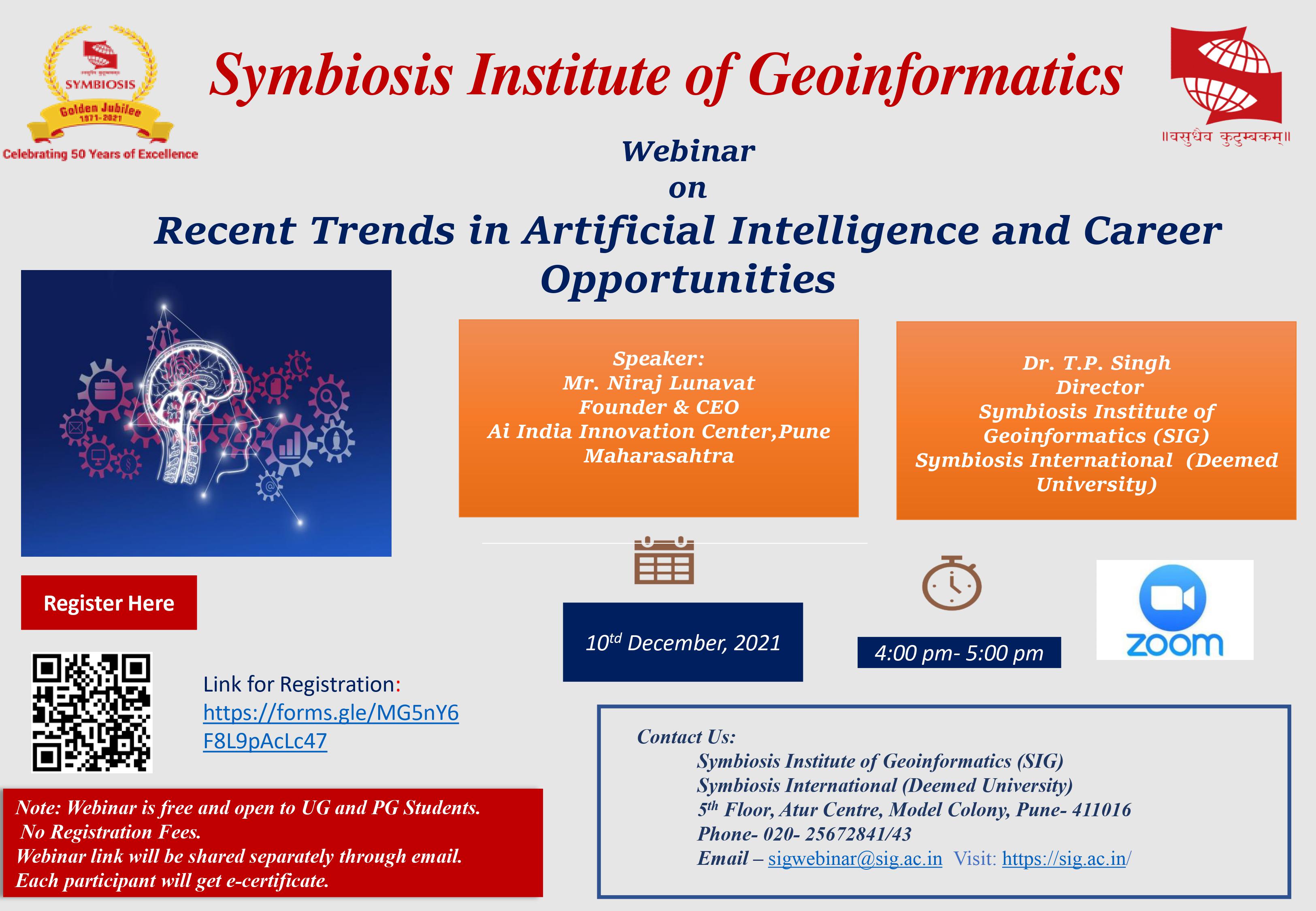
Webinar on Recent Trends in Artificial Intelligence and Career Opportunities

Geography and earth science increasingly rely on digital geographical data acquired from satellite or aerial images analyzed by Geographical Information Systems (GIS) and visualized on paper or the computer screen. Before this we remember the traces we used to make at school over a blank map of India. Different traces were used to display different information like 'wheat' or 'rice' growing areas of India etc.
Now with the computer age this whole process has become 'computerized' and instead of the paper copy of map of India we have satellite or aerial photographs and the 'traces' we used to make has been replaced by the computer (along with the help of a suitable software) which digitizes (traces) the objects we are interested in.
Geoinformatics is 'Geography' with Information Technology. Many fields benefit from geoinformatics, including urban planning and land use management, in-car navigation systems, virtual globes, public health, environmental modeling and analysis, military, transport network planning and management, agriculture, meteorology and climate change, oceanography and coupled ocean and atmosphere modelling, business location planning, architecture and archeological reconstruction, telecommunications, criminology and crime simulation, aviation and maritime transport. Geoinformatics becomes very important technology to decision-makers across a wide range of disciplines, industries, commercial sector, environmental agencies, local and national government, research, and academia, national survey and mapping organisations, International organisations, United Nations, emergency services, public health and epidemiology, crime mapping, transportation and infrastructure, information technology industries, GIS consulting firms, environmental management agencies, tourist industry, utility companies, market analysis and e-commerce, mineral exploration, etc. Many government and non government agencies started to use spatial data for managing their day to day activities.
A Geographic Information System (GIS) is a system designed to capture, store, manipulate, analyze, manage, and present all types of geographical data. The word GIS is sometimes used for geographical information science or geospatial information studies to refer to the academic discipline or career of working with geographic information systems and is a large domain within the broader academic discipline of Geoinformatics.