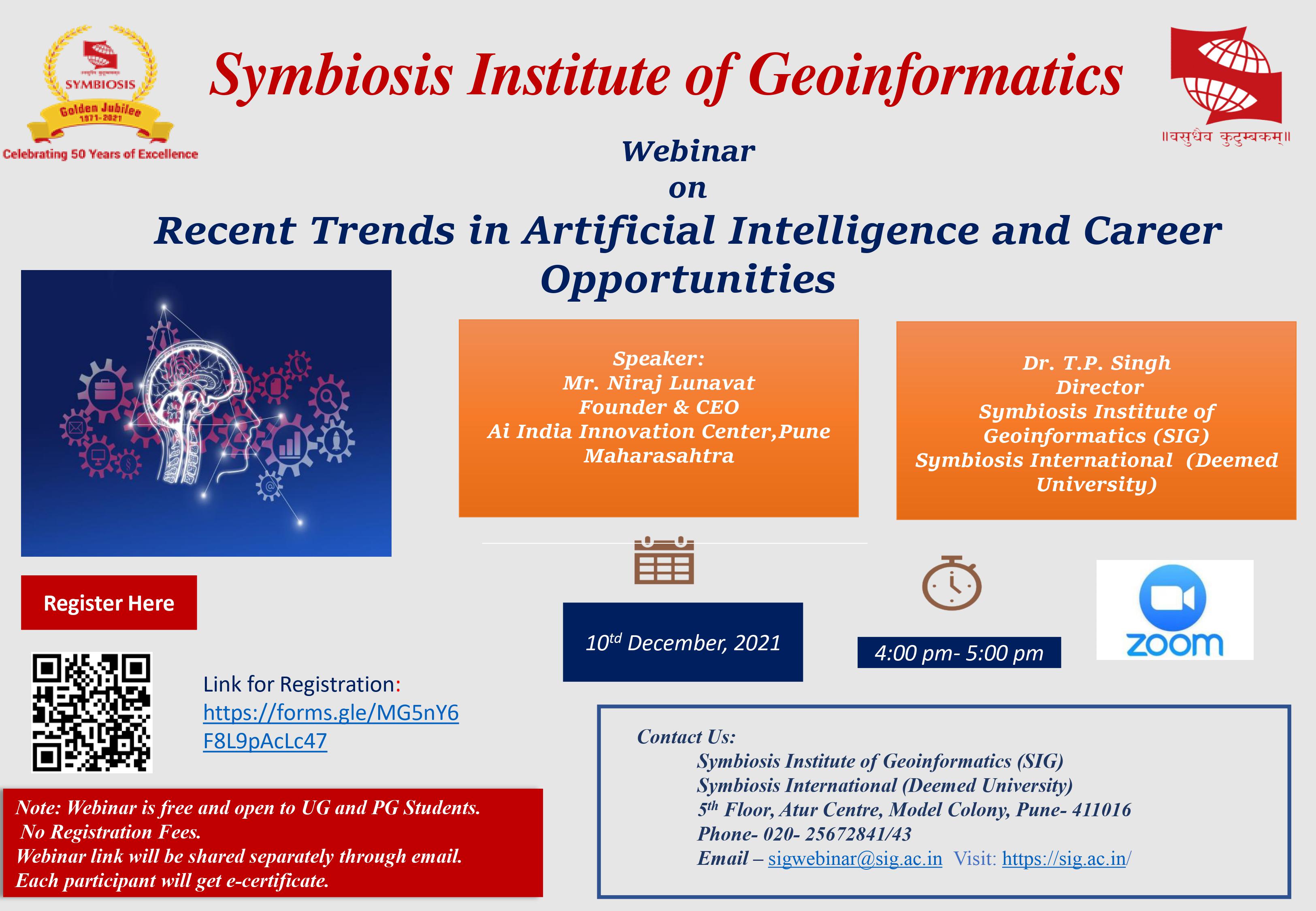
Webinar on Recent Trends in Artificial Intelligence and Career Opportunities
SIG believes in giving its students a friendly yet motivating learning atmosphere. After all, it is through this holistic exposure across different learning platforms that SIG is able to deliver geoinformatics professionals as per industry standard. As part of its learning environment, SIG encourages its students to step out of the confines of the campus and participate in conferences and seminars on Geoinformatics across the country. Here is a brief overview of the conferences that the students from SIG have attended till date:
| Sr No | Title of Conference | PIC | Year |
|---|---|---|---|
| 1 | GIFTS Summit 2025, hosted at Symbiosis International University and co-organized by the Symbiosis Institute of Geoinformatics (SIG) from 1st to 3rd September 2025, brought together global leaders in geospatial and frontier technologies. The conference was honoured by the presence of Dr. Shimrit Maman, Chair of the Israel Space Agency | 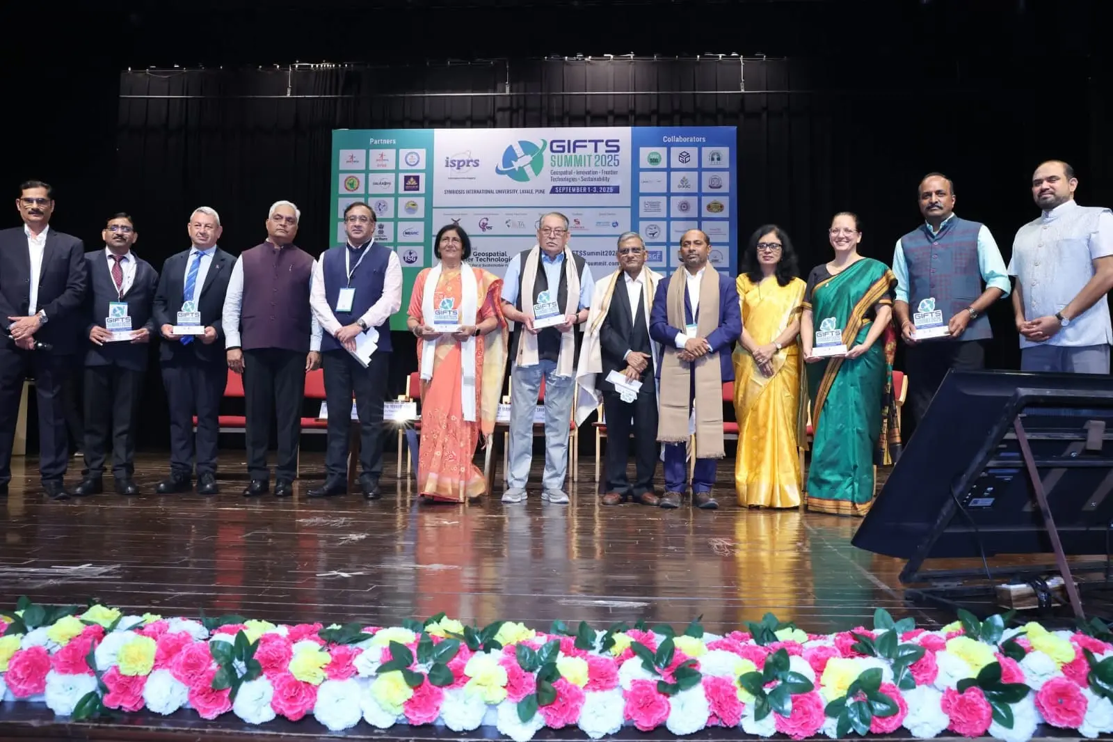 |
2024-25 |
| 1 | Workshop on Remote Sensing And GIS organized by IEEE Geoscience and remote sensing Society on 10/10/2023. | 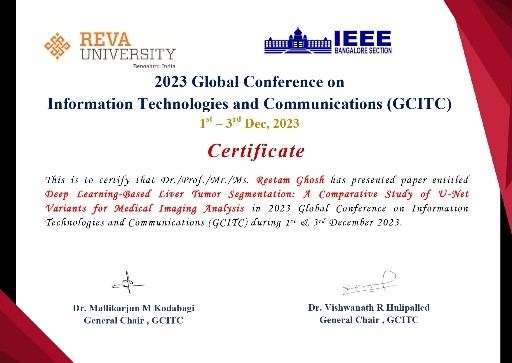 |
2023-24 |
| 2 | Drones in Advancement of Geospatial Technology GEOVISION 2023 on 07/07/2023. | 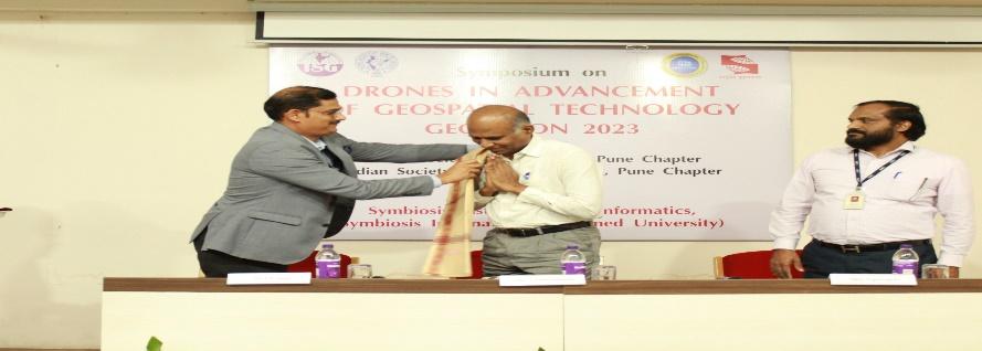 |
2023-24 |
| 3 | ISG-ISRS National Symposium 2023 on Exploring Geospatial Ecosystems, Trends and Innovations on 28th November 2023 to 30th November 2023. | 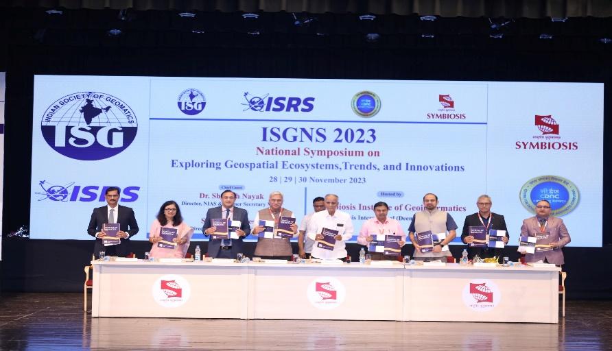 |
2023-24 |
| 4 | Webinar on Unlocking Career Prospects in Data Science @ Symbiosis Institute of Geoinformatics by Ms. Anjali Morge on 29 Jan 2024. | 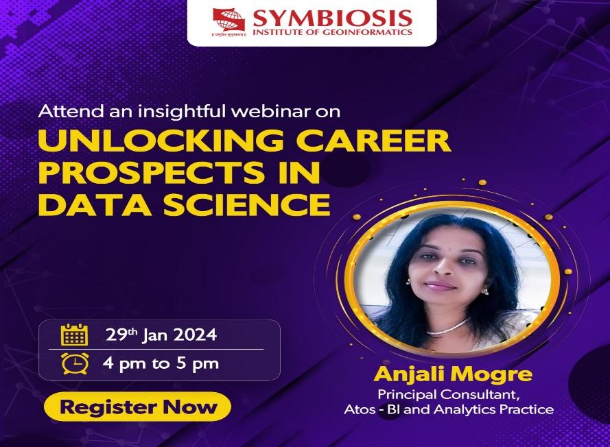 |
2023-24 |
| 5 | Webinar on "Drone Technology & Career Prospects By Mr. Samkith Bagmar, Manager-Drone Solutions, ESRI on 16th January 2024. | 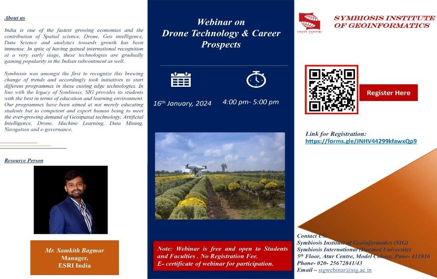 |
2023-24 |
| 6 | ISRO Sponsored Disaster Management Support (DMS) Capacity Building Program from 21st November - 05th December 2022 on the theme “Geospatial Technology to Hydrometrological Disaster Risk, Reduction, and achievement of United Nations Sustainable Development Goals ”. | 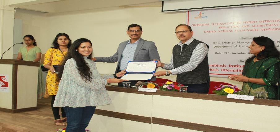 |
2022-23 |
| 7 | ‘NGP-DST Summer School on Geospatial Technologies (Level 2): Theme “Roles and methods of Geointelligence to achieve tangible United Nations Sustainable Development Goals” conducted from 23 May 2022 to 11 June 2022. | 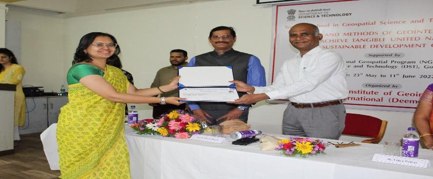 |
2022-23 |
| 8 | Webinar on “Latest Trends in Geospatial Technology and Career Prospects” by Mr. Shailesh Deshpande on 27 Jan 2023. | 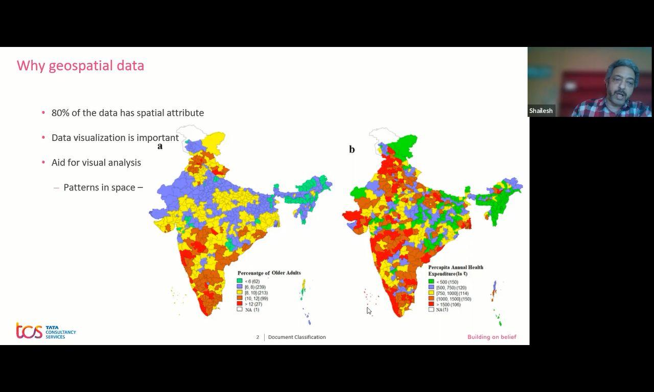 |
2022-23 |
| 9 | Webinar on “Symbiosis Geoinformatics Technology & Career Prospects” by Mr. Sumeet Ghatage on 21 April 2023. | 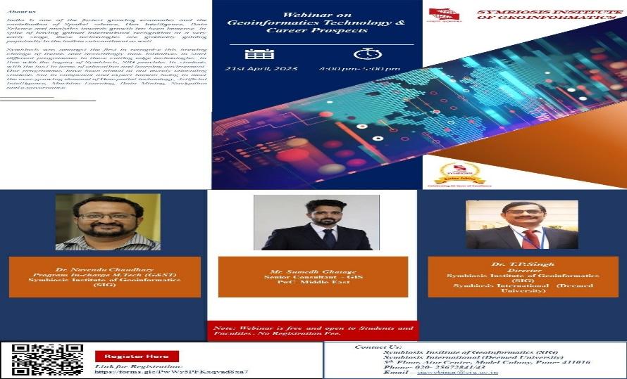 |
2022-23 |
| 10 | Webinar on Data Science Future Trends & Industry requirements @ Symbiosis Institute of Geoinformatics by Ms. Anjali Morge on 17 Jan 2023. | 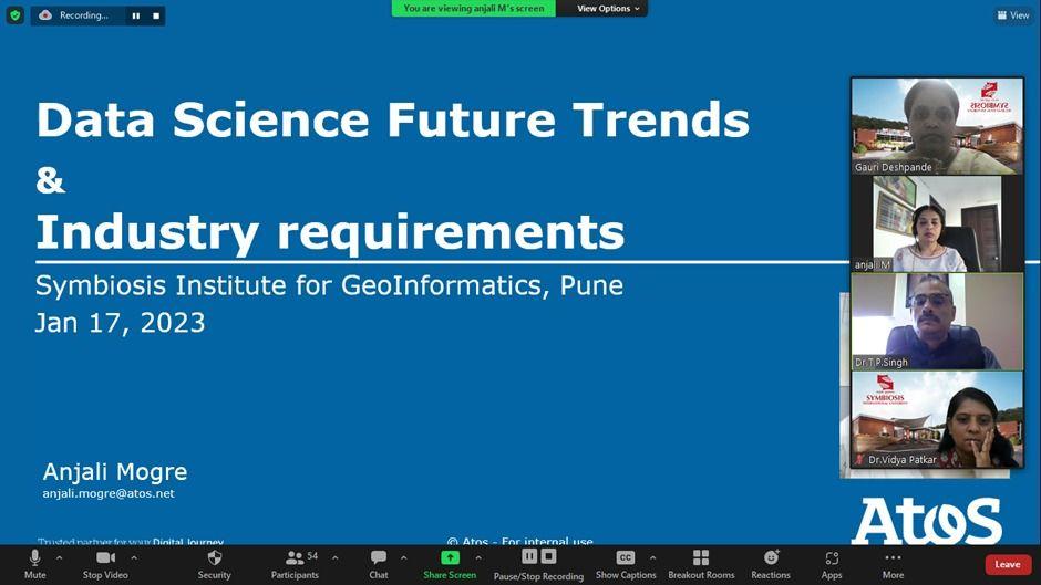 |
2022-23 |
| 11 | Webinar on National Level Online workshop on “Tableau Visualization and Design-@ Symbiosis” by Ms. Dr. Reena Lenka on 19 Dec 2022. | 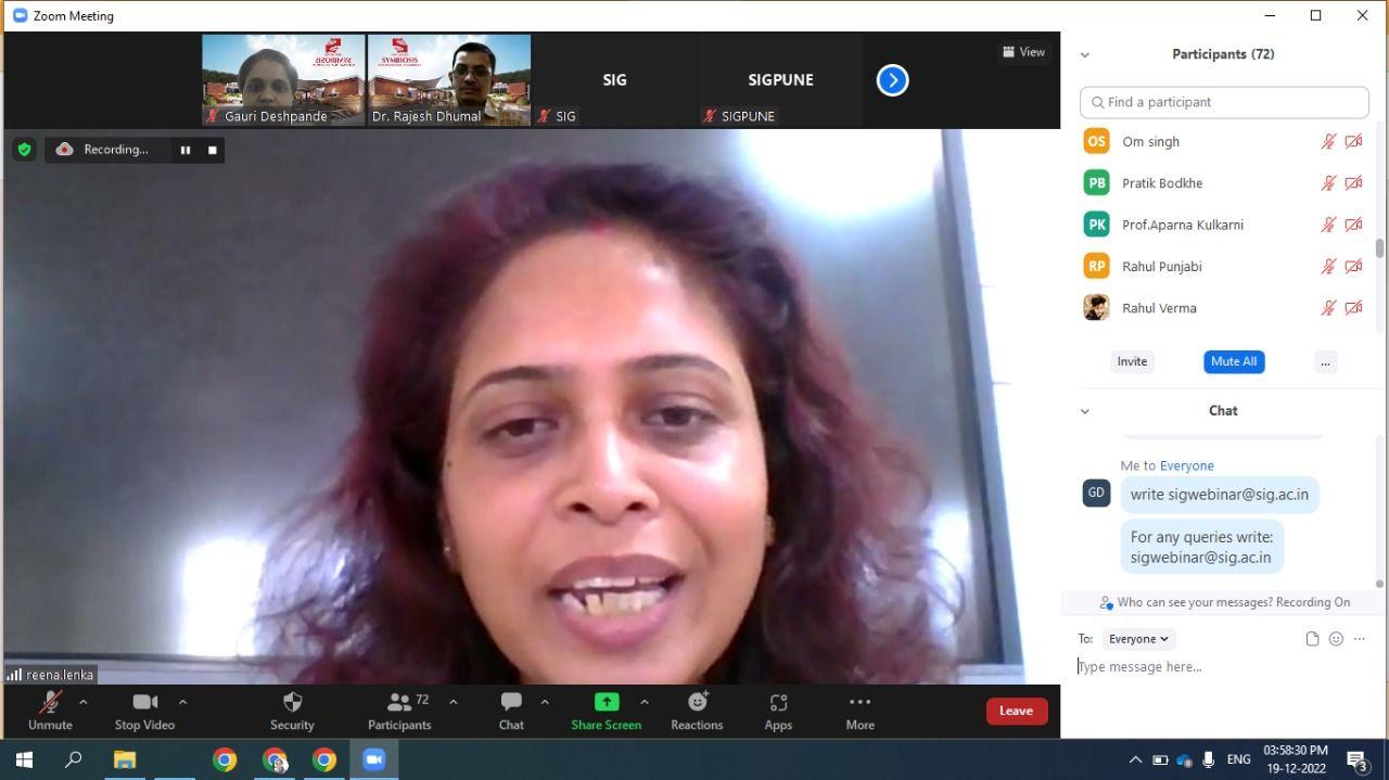 |
2022-23 |
| 12 | Webinar on “Role of Higher Education on Interventions Strategies Adopted in Mitigation and Management of Disasters in Context Recent Technological Development” by Prof. Santosh Kumar,Dr. Shailesh Nayak, Dr. T. N. Singh, on 8/17/2021. | 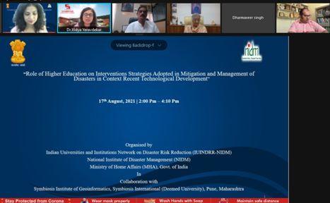 |
2021-22 |
| 13 | Webinar on "Drone Policy and Application in Reference to Remote Sensing Data Analysis by Mr. Satayam Kushawaha ,Mr. Satish Kumar,Mr. Dominic Karunesudas on 1/15/2022. | 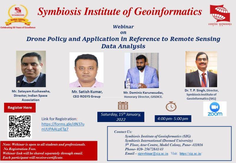 |
2021-22 |
| 14 | Webinar on Recent Trends in Artificial Intelligence and Career by Mr. Niraj Lunavat on 10-Dec-21. | 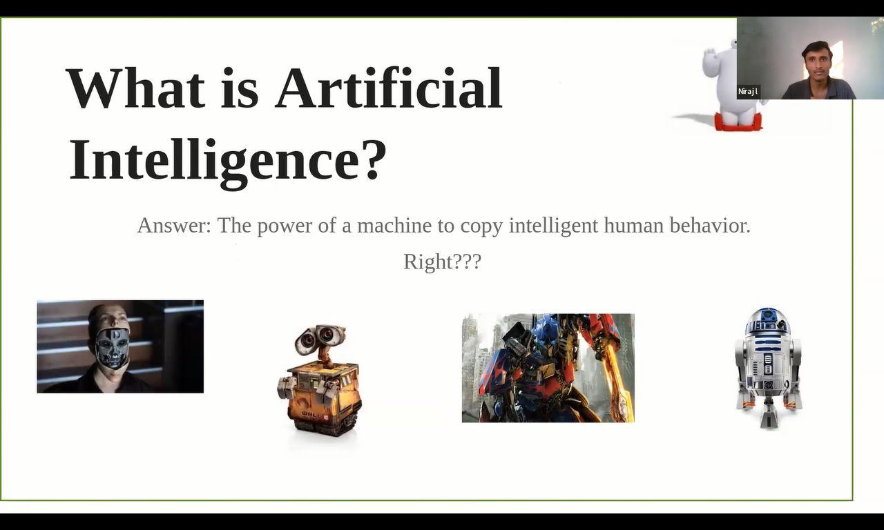 |
2021-22 |
| 15 | Webinar on Latest Trends in Data Science, Career Prospects and Opportunities by Dr. Shailesh Deshpande & Dr. Janani Shruti Rapur on 3/4/2022. | 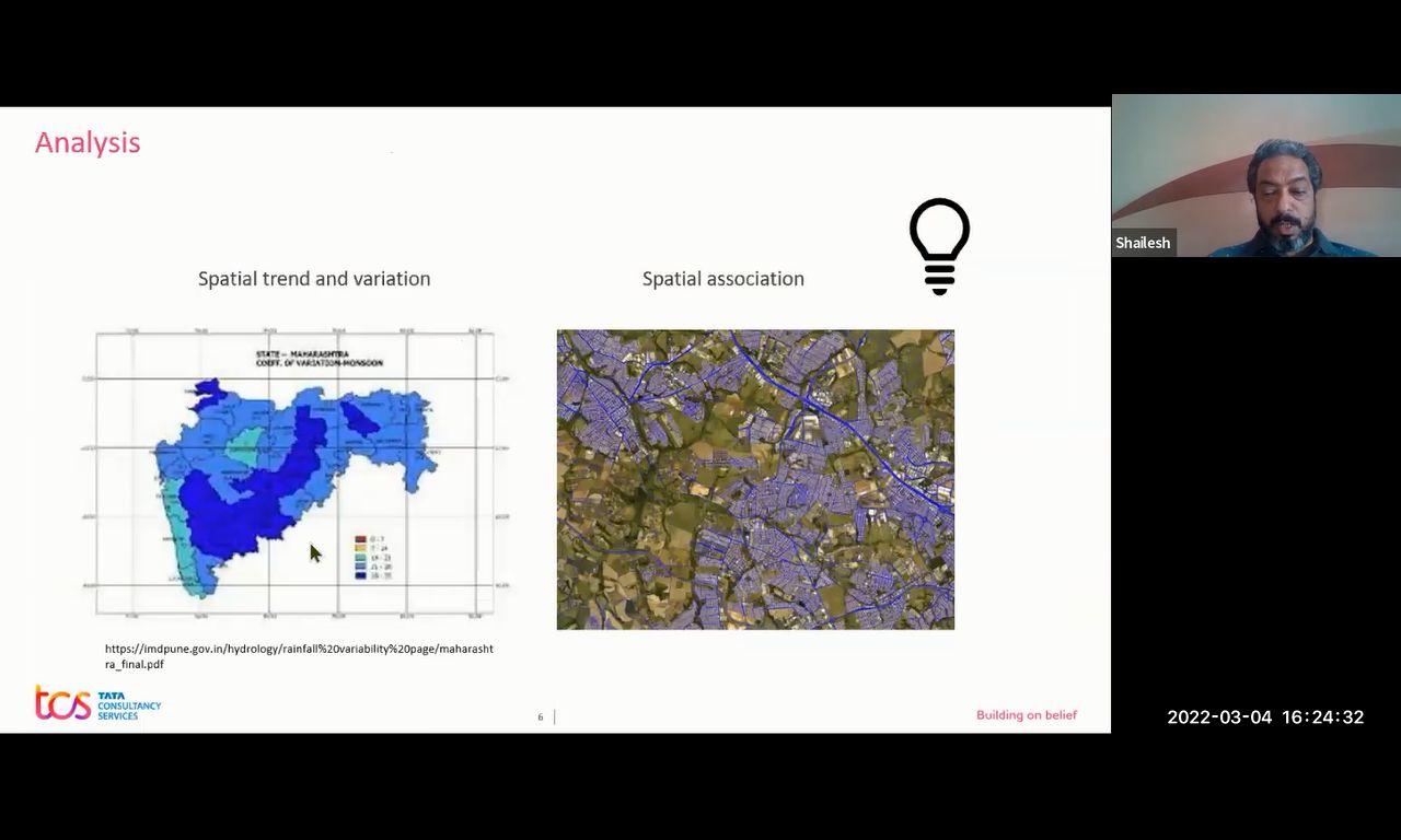 |
2021-22 |
|
Sr. No |
Name | Name of the Conference | Description | PIC | Year |
|---|---|---|---|---|---|
|
1 |
BANKAR OMKAR SANTOSH |
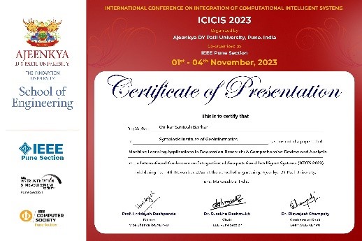
IEEE INTERNATIONAL CONFERENCE ON INTEGRATION OF COMPUTATIONAL INTELLIGENT SYSTEMS (ICICIS) 2023, ADYPU, Pune |
Machine Learning Applications in Depression Research: A Comprehensive Review and Analysis |
 |
2023-24 |
|
2 |
BHOSALE SAHIL AKHIL ANUJA |
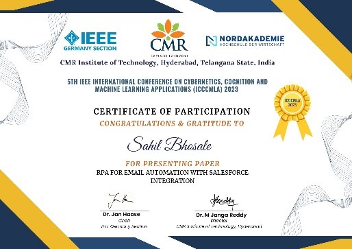
5th IEEE International Conference on Cybernetics, Cognition and Machine Learning Applications, Germany |
RPA FOR EMAIL AUTOMATION WITH SALESFORCE INTEGRATION |
 |
2023-24 |
|
3 |
CHHAVI BALIYAN |
2023 IEEE International Conference on Artificial Intelligence in Engineering and Technology (IICAIET)Kota Kinabalu, Sabah |
Unleashing the Power of Machine Learning:Revolutionizing Early Diagnosis and Prevention of Mental Health Disorder |
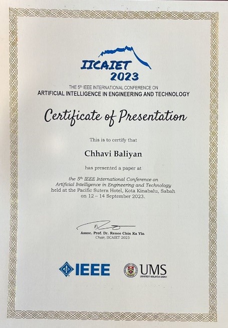 |
2023-24 |
|
4 |
KHOT SOURAV BALASAHEB SUNITA |
IEEE INTERNATIONAL CONFERENCE ON INTEGRATION OF COMPUTATIONAL INTELLIGENT SYSTEMS (ICICIS) 2023, ADYPU, Pune |
Location Based Restaurant reCOmmendation |
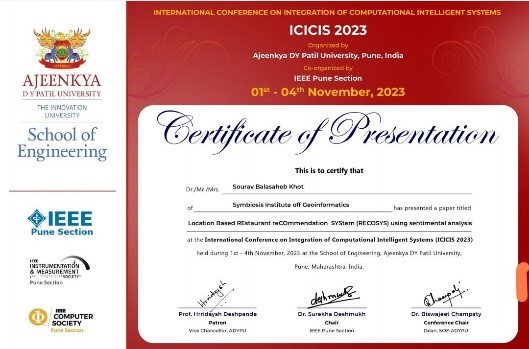 |
2023-24 |
|
5 |
REETAM GHOSH |
IEEE 2023 Global Conference on Information Technologies and Communications (GCITC), Banagalore |
Deep Learning-Based Liver Tumor Segmentation: A Comparative Analysis of U-Net Variants |
|
2023-24 |
|
6 |
SAMPURNA MONDAL |
4th IEEE Global Conference for Advancement in Technology |
Predicting Credit Risk in European P2P Lending: A Case Study of "Bondora" Using Supervised Machine Learning Techniques |
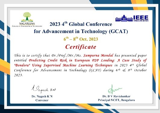 |
2023-24 |
|
7 |
SHARMA GAURAV VIJAY |
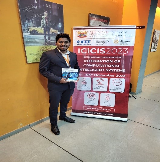
IEEE INTERNATIONAL CONFERENCE ON INTEGRATION OF COMPUTATIONAL INTELLIGENT SYSTEMS (ICICIS) 2023, ADYPU, Pune |
Analysis and Forecasting of Monthly Average |
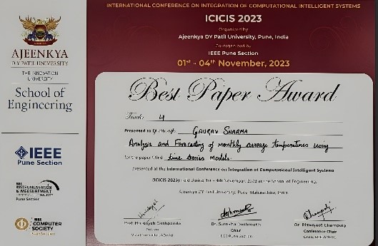 |
2023-24 |
|
8 |
SHEDEKAR SHUBHAM SANJAY |
IEEE INTERNATIONAL CONFERENCE ON INTEGRATION OF COMPUTATIONAL INTELLIGENT SYSTEMS (ICICIS) 2023, ADYPU, Pune |
Enhancing E-commerce Insights: Sentiment Analysis Using Machine Learning and Ensemble Techniques |
 |
2023-24 |
|
9 |
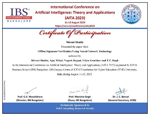
SHIVANI SHUKLA |
International Conference on Artificial Intelligence: Theory and Applications (AITA 2023), Banglore |
Offline Signature Verification Using Neural Network Technology |
 |
2023-24 |
|
10 |
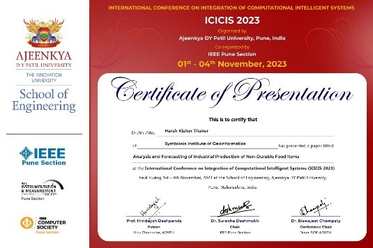
THAKUR HARSH KISHOR |
IEEE INTERNATIONAL CONFERENCE ON INTEGRATION OF COMPUTATIONAL INTELLIGENT SYSTEMS (ICICIS) 2023, ADYPU, Pune |
Analysis and Forecasting of Industrial Production of Non-Durable Food Items |
 |
2023-24 |
|
Sr. No |
Name |
Name of the Conference |
Description |
PIC |
Year |
1 |
POOJA G NAIR SURYAWANSHI PAVANKUMAR |
Participated and presented a paper in the 34th IGI National Conference |
Presented a paper entitled "Machine Learing based algorithms for Mapping Mangrove cover changes in Mumbai region using Google Earth Engine in the 34th IGI National Conference Organized by the Department of Geography, Savitribai Phule Pune University, Pune from 02"-04" November 2022. |
 |
2022-23 |