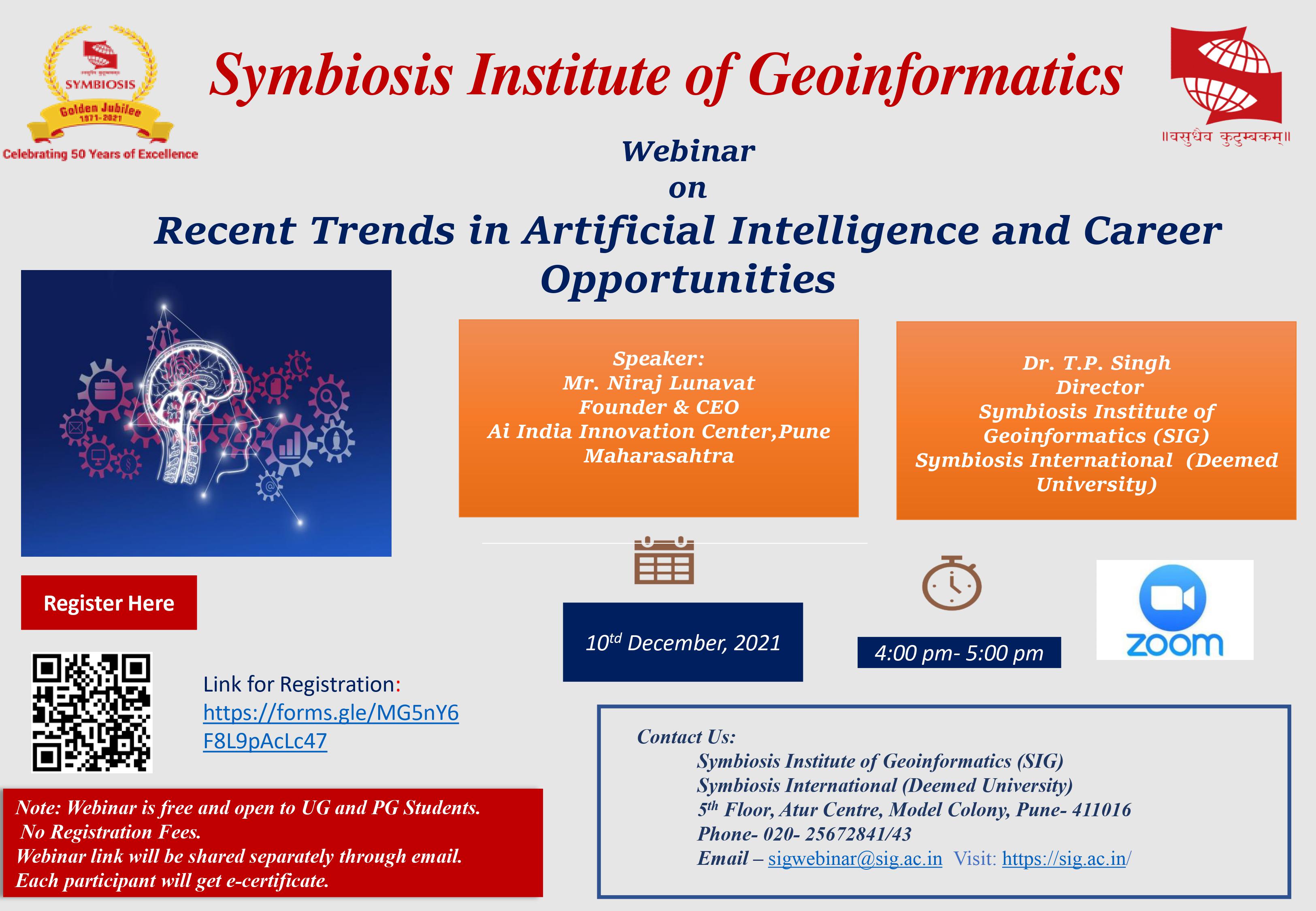
Webinar on Recent Trends in Artificial Intelligence and Career Opportunities

The geoinformatics industry in India is at a nascent stage. While the MSc & MTech in Pune at SIG is able to address the demands of creating a sustainable talent pool for the geoinformatics industry, there is still a huge bunch of professionals looking to add to their geoinformatics expertise through remote sensing and GIS courses. As an acknowledgment of this trend, SIG has introduced a series of certification courses that can help you add to your academic qualification in relatively lesser time. In fact, SIG also offers customized certification courses like the remote sensing and GIS course to address sector-specific demands. Here is a primer to the various certification options available at SIG.
Symbiosis has introduced a certificate program in Digital Photogrammetric Mapping & Remote Sensing to meet the demand of trained professional human resources. This program emphasizes on creating a plug and play manpower for the Photogrammetric Mapping Industry and is designed by industry professionals to incorporate the quality and standards as desired by the mapping companies. Students of MTech in Remote Sensing spend time in the Laboratory to learn the real-time Mapping methodologies and get real- world experience.
Through public and private sector joint ventures, the Government of India has launched an initiative through projects to map major Indian cities with the help of Photogrammetric Mapping technology. This highly accurate method of creating 3D maps will help the engineers and scientists to design and build a highly developed and prosperous India of tomorrow. We envision the requirement of thousands of trained professionals in the near future to meet this demand. In addition to domestic mapping work, there has been a tremendous mapping workflow from countries like North and South America, Europe, Middle East, Africa, and so on.
6 weeks, 5 days a week (Full Time)
| Course Content | Key Features |
|
|
HSC/Diploma/Graduate passed from any discipline. Final year students awaiting results may apply. Students are to certify that they are not color blind and can view 3D images using goggles.
The programme fee is Rs. 25,000/-(Rupees Twenty Five Thousand Only). Rs 20,000 course fee and Rs 5,000 caution money. This fee should be paid in one single installment by DD drawn in favor of 'The Director, Symbiosis Institute of GeoInformatics' and payable at Pune, Maharashtra. The course fee is not refundable.
Application form is available on the website. Students can download the application form and submit in the institute on payment of Rs 200/- in cash / DD in favor of 'The Director, Symbiosis Institute of Geoinformatics', payable at Pune at the address mentioned below The Director
Address : Symbiosis Institute of Geoinformatics 5th Floor Atur Centre, Gokhale cross road, Model Colony Pune – 411016